Media channels and research centers, concerned with the Syrian affairs, always use maps to show how Syrian is divided geographically, depending on which military force is controlling which area. The only reliable standard to draw these control maps and changing them every day and every hour is the sites, where armed forces of every fighting group are stationed, even if hiding in ditches or behind barricades, regardless if the area and its residents are besieged from all sides and are subject to airstrikes or artillery shelling. The important thing is that these forces are erecting their roadblocks at the entrance of a certain area and at the borderline with the area, controlled by another force. The roadblocks – checkpoints – represent the milestones in the struggle on power. In fact, most of them have no real security position.
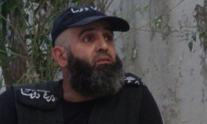
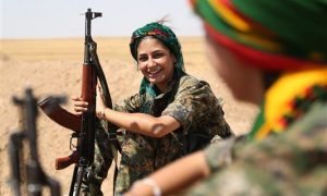
Most of the maps divide Syria (or Syria and Iraq) into areas under the control of ISIS, areas under the control of Assad’s regime, areas under the control of the Kurdish forces, areas under the control of the (armed resistance) and interrelated areas. Some maps give or delete details according to the policy of that who drew the map or amended it. For example, there are people, who distinguish between the areas that are under the control of al-Nusra Front and the areas under the control of the armed resistance. Others consider al-Nusra as part of ISIS or any Islamist faction. Meanwhile; others define all areas, depending on their getting out of the control of the regime and its allies. Of course, there are those who refer every faction to the state or to a group of states, supporting it and the result is another map.
Consequently, there are cities, like Homs, Hama, Banyas and others, whose residents demonstrated against Assad, (belong) to the latter; Raqqa (belongs) to ISIS; Damascus, the habitant of several millions of Damascus inhabitants and displaced people from other revolting areas, (belongs) to Assad! And so on.
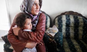
Of course, that is not real and does not seem fair. But judging upon the logic of power brings such outcomes, whether by the fighting factions, or by researchers and analysts. Your area of jurisdiction is the place, where you erect your military roadblocks, regardless of the satisfaction of the people or their support, and regardless of the type of service you may present to them after declaring your control of the area and ruling them!
The question to ask here is whether these areas really belong to the forces, controlling them militarily – by roadblocks – or not!
There is no place here to mention the maps of demonstrations or counting the demonstration points and the demonstrators that started with the beginning of the Syrian revolution. Unfortunately, there cannot be conducted a public referendum all over the silent map of Syria today on the people’s opinion, loyalty and choices regarding the side they wish to rule them. The answer to this question will define your situation as with regard to respecting the people and the human being on the account of kneeling to the rule of militants and the winners.
If you answer (NO), you are welcome in our (area). Do not feel alienated. “On the map, we are all aliens”!

Activist, journalist, Assistant Editor-in-Chief of Freedomraise and Director of its main office in Douma / Eastern Ghouta, holding a degree in Arts, English Language Department, Damascus University. He is also director of the office of the Syrian Non-violence Movement in Damascus Suburbs.


